Skip to content

Capture

Snap a finding and Stepo geotags it, then adds that day’s weather, heat, air quality and alerts. Save a project’s address and it also gets a site profile and an emergency page.

A replica of a Stepo finding pinned to the map, with the heat, wind, air quality and wildfire conditions recorded for that site and day.

That day’s conditions, on the record for good

How it works

What Stepo adds to a finding

  1. 01

    Pinned to the map

    The photo’s location places the finding, from the phone’s GPS or the picture’s own location data.

  2. 02

    Stamped with the day

    Weather, heat, wind, air quality and active alerts at the site are added, plus any wildfire, flooding or earthquake nearby.

  3. 03

    Kept as it was

    Written once and never updated with the forecast. Inspection reports print the conditions as they were.

The claim file

What the day looked like, answered months later

When a claim or a dispute lands, the finding already shows the heat, wind, air quality and alerts the crew faced. Nobody has to rebuild the day from memory.
The conditions recorded with one finding: temperature, wind gusts, air quality, a heat advisory, the nearest wildfire and sunset, with the state heat rule that applied.

Heat

Heat checked against the rule that applies

Stepo checks the recorded heat against federal OSHA guidance and the state rules in California, Washington, Oregon, Nevada, Maryland and Minnesota. When a threshold is met, the record names the rule, so you can show which requirement applied that day.
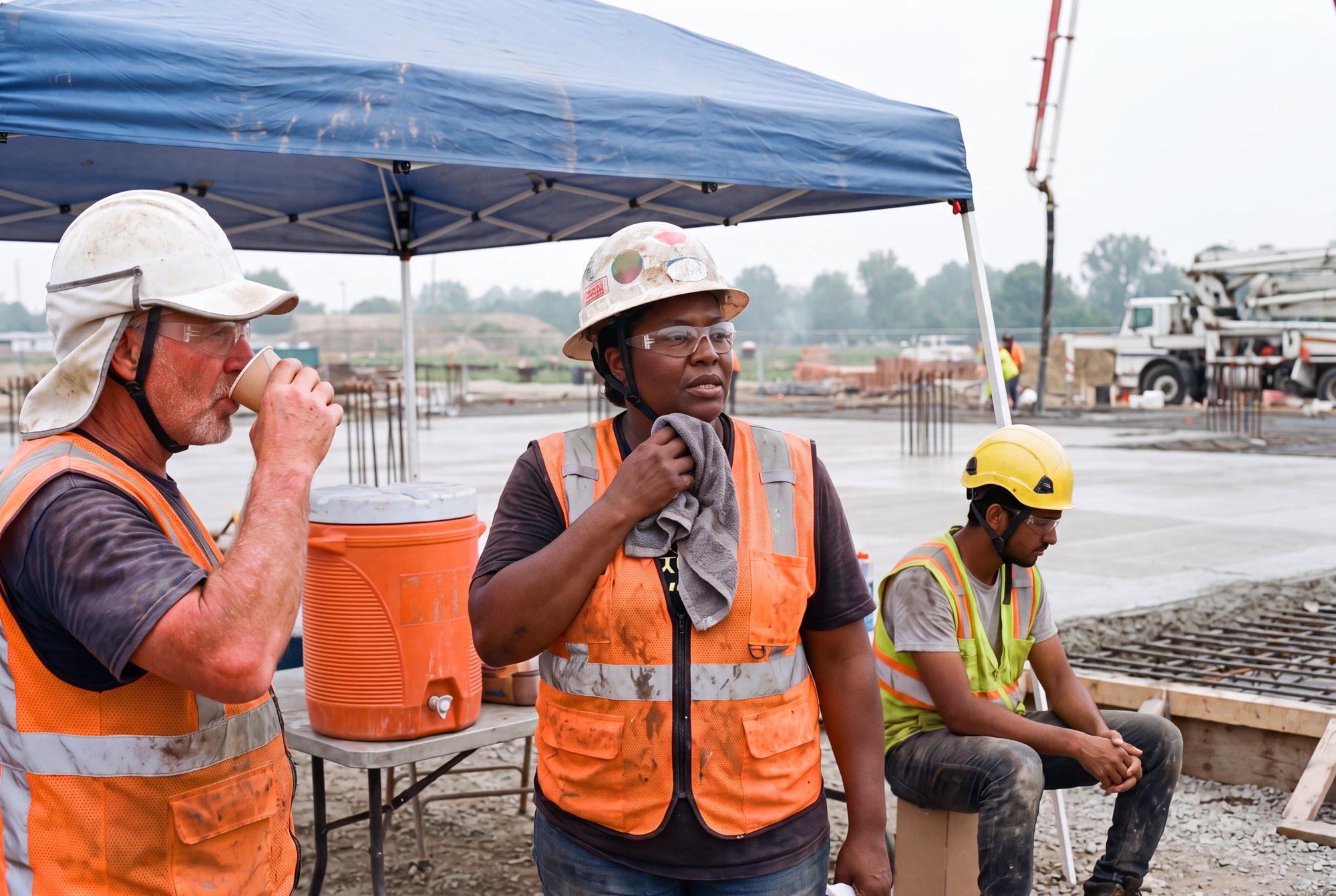
Three concrete workers in strapped hard hats and clear glasses taking a water and shade break under a canopy beside a fresh slab

Heat · checked against the rule for that state

Site profile

Know the site before the first shift

Save a project’s address and Stepo builds its profile from public records: traffic, rail crossings, posted bridges, flood zone, soil, the crane height that may need an FAA notice, overhead transmission lines and chemical facilities nearby. Each fact names its source and stays current on its own.
A project’s site profile: road traffic, a posted bridge, crane notice height, power lines, flood zone, soil and a chemical facility, with the facts that need attention tagged.

Emergency

Who to call, one tap away

Every project has an Emergency tab: Call 911, the site’s emergency contacts, and the nearest emergency room, fire station and ambulance with directions. Reports can carry the same page as an Emergency appendix.
A project’s Emergency tab: a Call 911 button, two emergency contacts with call buttons, and the nearest emergency room, fire station and ambulance with directions.

Questions

Asked on every call

Which records get conditions?

Findings and inspections. Conditions come from the site’s saved location, or from where the finding’s photo was taken.

What if the work is indoors or there is no GPS signal?

The finding is still recorded. When the site’s location is saved in Stepo, its conditions come from there.

Where do the site profile facts come from?

Public US sources such as FEMA, the FAA, USDA, FHWA, the FRA, EPA and CMS. Each fact shows its source and the month it was checked. Treat them as reference and confirm on site.

Can we choose what shows?

Yes. An admin turns each condition and site profile item on or off for the organization, and the choice applies everywhere: project pages, records and reports.

Does this track people?

No. Stepo saves a location only when a record is captured, so the record shows where it happened. It never follows people between records.

Bring one project address

In 30 minutes we show its conditions, site profile and emergency page, and capture a finding with the day’s conditions attached.